From archdaily:
When in what was called Junior School at the time, ages 7 to 10, our teacher took us to a small village and got us started on a project to map the surroundings.
We drew the roads (there were two, a crossroads), the stream, buildings, and plenty of distinguishing features (trees, postbox, etc.) and added any relevant information we could think of.
We visited several times, adding more and more data to the documents we were collecting and drawing by hand. We even did a topology study using basic tools, but it was enough for us to get a rough 3D model of the village built as the final conclusion to the project.
I’ll never forget that experience. During the project and again at the end, my teacher told me I would make a good Cartographer. I didn’t know what that word meant at the time, so I looked it up in the dictionary. The definition in my crappy dictionary was “Map Maker”.
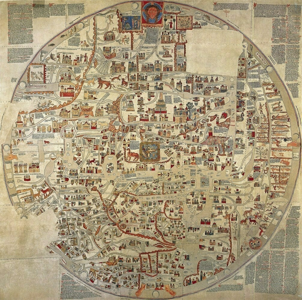
I didn’t turn out to be a “map maker”. However, I have continued to enjoy maps, and these articles are catnip. Enjoy.
7 January 2023 — French West Indies